Wintry Weather Could Affect Middle Tennessee This Weekend, With Ice Risks and Rapidly Changing Conditions
What forecasters are watching
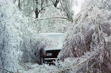
Middle Tennessee could see a period of wintry weather this weekend, with the highest concern centered on a narrow window when surface temperatures may be cold enough for freezing rain or a wintry mix. The most likely travel impacts would come from light ice accumulation on elevated surfaces such as bridges and overpasses, where temperatures often drop faster than surrounding roadways.
Forecast confidence typically improves as the event nears, but winter setups in Tennessee can remain sensitive to small shifts in track, timing, and temperature. That sensitivity means precipitation type can change over relatively short distances and in a matter of hours, affecting which neighborhoods and counties experience slick conditions.
Expected timing and where impacts tend to be highest
Planning assumptions for this type of event usually focus on late-night and early-morning periods, when ground and air temperatures are most likely to be at or below freezing. When precipitation begins during those colder hours, freezing rain can form a thin glaze of ice even if daytime temperatures later rise above freezing and transition precipitation back to plain rain.
Historically, the greatest risk of light icing in Middle Tennessee often concentrates along the Tennessee–Kentucky border and across the Cumberland Plateau, where colder air can hold longer and elevation can support freezing conditions. However, the metro area can still see localized slick spots, especially on untreated secondary roads and elevated ramps.
Road treatment and public operations preparations
Local transportation and emergency management plans typically prioritize pretreating key routes and addressing known trouble spots ahead of freezing conditions. In Nashville, agencies have previously outlined strategies that include pretreating bridges and overpasses with brine, staging crews for rapid response, and coordinating virtually to maintain continuity of public safety operations during winter events.
What residents can do now
Monitor forecast updates through the weekend, especially for changes in the expected start time of precipitation and overnight low temperatures.
Limit early-morning travel if freezing rain is expected; a thin ice glaze can significantly reduce traction.
Assume bridges and overpasses may freeze first, even when nearby roads appear wet.
Prepare for short-notice changes to school, government, and event schedules if advisories or warnings are issued.
Winter precipitation in Middle Tennessee is often defined less by total accumulation and more by timing: even light ice during the overnight-to-morning commute can drive most of the disruption.
What to watch next
The key variables heading into the weekend are the depth of cold air near the surface, the onset timing of precipitation, and how quickly temperatures rise after sunrise. A warmer trend would reduce icing risk and favor rain; a colder or slower warm-up would increase the chance that light icing persists longer into the morning.