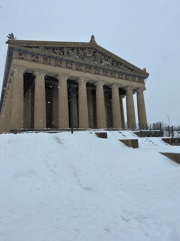
What it takes to produce major snowfall in Middle Tennessee, and why it happens so rarely

Major snow in Middle Tennessee is a narrow atmospheric “thread the needle” event
Major snowfall in Middle Tennessee is uncommon because the region sits near the typical winter rain-snow boundary. For Nashville, snow is part of winter, but it is usually light and short-lived, with larger totals requiring several meteorological ingredients to line up at the same time.
The three ingredients: cold air, moisture, and timing
- Deep, sustained cold air near the surface: A major snow setup usually begins with a supply of Arctic air that drives temperatures to and below freezing not only at the surface but through a sufficient depth of the lower atmosphere. If the cold air is shallow, precipitation can melt aloft and refreeze near the ground, increasing the risk of sleet or freezing rain rather than snow.
- Gulf moisture and a strong storm system: Middle Tennessee’s biggest snowfalls typically depend on abundant moisture feeding north from the Gulf of Mexico. Without that moisture, cold air alone produces only flurries or light accumulations.
- Storm track and temperature profile that favor snow over mixed precipitation: The path of the surface low pressure system and the placement of warm air aloft are decisive. A track that pulls warm air into Middle Tennessee can change snow to rain or ice, while a track farther south and east can keep the column cold enough for snow.
Overrunning and the “cold wedge”: a common pathway to heavier snow
One of the more favorable patterns for significant snowfall occurs when cold air is established at the surface first, then warmer, moisture-rich air moves over the top of it. This “overrunning” can produce a prolonged period of precipitation. If the atmosphere remains cold enough through a deep layer, the result can be heavy, accumulating snow. If a warm layer develops aloft, the same setup can instead yield sleet or freezing rain.
In Middle Tennessee, small shifts in storm track and a few degrees in temperature can decide whether a major event is snow, ice, rain, or a mix.
Local context: what “major” has looked like in Nashville
Recent history shows how selective the conditions must be. In the January 22–23, 2016 storm, much of the Nashville metro received roughly 5 to 10 inches, with 8 inches recorded at Nashville International Airport—one of the city’s larger modern snowfalls. The same event produced much higher totals on the Cumberland Plateau, including an unofficial 15 inches in parts of Fentress County, underscoring how elevation and colder air help boost accumulations in the eastern part of the mid-state.
Middle Tennessee’s record events are rarer still. Historical documentation lists a 17.2-inch total in Nashville during March 17–18, 1892, one of the largest snowstorms on record for the city.
Why it is hard to repeat: the rain-snow line is often nearby
The region frequently experiences winter storms with temperatures hovering close to freezing. That places Middle Tennessee on the edge of the rain-snow transition zone, where the precipitation type can flip during the event as warmer air intrudes aloft or temperatures rise after precipitation begins.
As a result, major snowfall generally requires a storm strong enough to produce widespread precipitation while the cold air is both deep and durable—conditions that do occur, but far less often than in regions farther north or at higher elevation.