Nashville’s Big Thaw: Temperatures Finally Edge Above Freezing After Winter Storm Fern
Morning: A Frigid and Misty Start
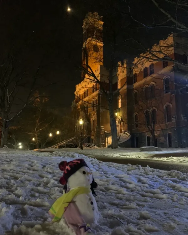
Nashville residents woke up to a biting chill this Thursday morning, January 29, 2026, as the city remains in the icy grip of Winter Storm Fern’s aftermath. Early morning observations at Nashville International Airport (BNA) recorded a temperature of 26.1°F with a high relative humidity of 84%. The air is currently calm, but a light mist and haze have settled over the region, complicating visibility for early commuters. While the extreme cold warnings from earlier in the week have expired, the morning remains dangerously cold with temperatures hovering in the low 20s.
Afternoon: Breaking the Freezing Mark
The headline for today’s forecast is the long-awaited arrival of temperatures above the freezing mark. After days of sub-freezing conditions that paralyzed Middle Tennessee, the mercury is predicted to reach a high of 37°F this afternoon. While still chilly, this marginal rise is expected to trigger a significant melting process for the thick layers of ice and packed snow covering secondary roads and sidewalks. Skies will remain predominantly cloudy throughout the day, with only a 10% chance of light flurries or isolated snow showers, providing a much-needed break from the heavy precipitation of the past weekend.
Evening: The Threat of Refreezing
As the sun sets, the temporary relief of the afternoon thaw will face a familiar challenge. Temperatures are expected to drop back down to a low of 20°F to 21°F tonight. This dip poses a major risk for 'black ice' as the meltwater from the afternoon refreezes on pavement. Evening travelers should exercise extreme caution, particularly on bridges and overpasses which remain the most hazardous areas. Winds are expected to remain light, but the high humidity will make the air feel significantly colder than the actual thermometer reading.
Warnings and Essential Safety Information
Despite the slight warming trend, Nashville remains under a Hazardous Weather Outlook due to lingering ice and ongoing infrastructure repairs. The Nashville Office of Emergency Management continues to monitor widespread power outages caused by fallen tree limbs. Residents are encouraged to keep the following in mind:
- Road Safety: Metro public transit is operating on a regular weekday schedule, but delays are expected. Avoid unnecessary travel on untreated side roads where ice remains thick.
- Warming Centers: For those still without power, the city has opened several warming locations. Transportation is available via a dedicated hotline at 615-401-1712.
- Home Maintenance: Continue to drip faucets and keep cabinet doors open to prevent pipes from bursting as the ground shifts during the thaw.
Looking ahead, another surge of arctic air is expected to arrive by the weekend, bringing temperatures back into the single digits. Enjoy the brief 37-degree 'warm-up' while it lasts, Nashville.