Nashville Shivers Under Minor Cold Weather Advisory as Temperatures Plummet
Arctic Blast Grips the Music City
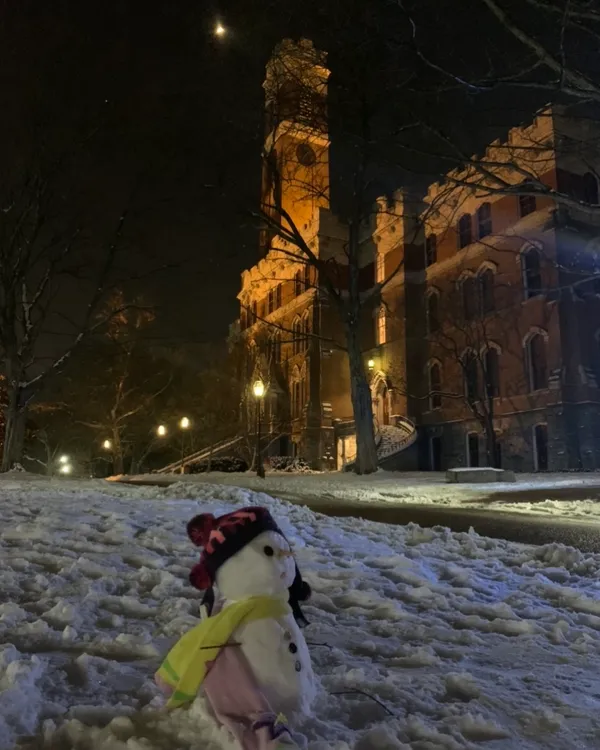
Nashville residents are waking up to a punishing cold front this Saturday, January 31, 2026. The National Weather Service (NWS) has issued a Minor Cold Weather Advisory for Davidson County and the surrounding Middle Tennessee area, effective until Monday at noon. Forecasters warn that the region is entering a prolonged period of sub-freezing temperatures that could last for over 60 consecutive hours, creating hazardous conditions for those outdoors and putting a strain on local power grids.
Today's Temperature Breakdown
The weather today will be characterized by persistent cloud cover and dangerously low wind chills. Here is the expected breakdown for your Saturday:
Morning:
Early risers will face the harshest conditions of the day. Temperatures are starting in the high teens to low 20s, but wind chills are expected to dip as low as 5 degrees below zero. Residents are urged to limit outdoor exposure during these hours to avoid the risk of hypothermia.Afternoon:
Despite the overcast skies, temperatures will struggle to reach a high near 30°F. While the wind will be relatively light at 8 to 13 mph, the lack of sunshine means there will be no reprieve from the biting cold. There is a slight 3% to 9% chance of on-and-off snow showers throughout the afternoon, though accumulation is expected to be minimal.Evening:
As the sun sets, temperatures will quickly retreat into the mid-teens, bottoming out at an overnight low of approximately 11°F to 18°F. The wind chill will remain a significant factor, staying well below zero through the night.
Wind, Snow, and Travel Warnings
A Winter Weather Advisory remains in effect alongside the cold alert. While Nashville proper may only see a dusting of snow (estimated at 0.01 to 0.5 inches), areas along and east of I-65 and the Cumberland Plateau could see up to 2 inches. Travelers are cautioned that slick spots may develop on bridges and overpasses. Furthermore, with over 170,000 homes in the region already reporting power outages due to the preceding storm system, officials are emphasizing the importance of home heating safety. Residents using space heaters or generators should ensure proper ventilation to prevent carbon monoxide poisoning and maintain a safe distance from flammable materials.
Safety Recommendations
The NWS advises all Nashvillians to dress in multiple layers of warm clothing if they must go outside and to ensure that pets have adequate warm shelter. With the ground remaining frozen through the weekend, the risk of frozen pipes is also high; residents are encouraged to let faucets drip and keep cabinet doors open to allow heat to circulate around plumbing.