Nashville Shivers Under a Frigid Blanket: What to Expect this Monday
A Sharp Start to the Work Week
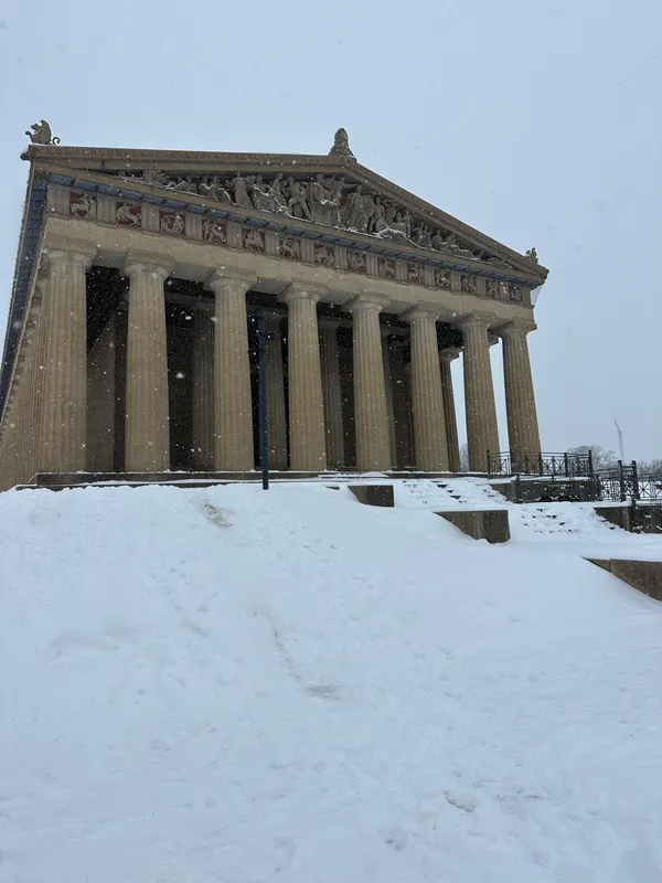
Nashville residents are waking up to some of the coldest air of the season this Monday, January 19, 2026. While the skies may offer glimpses of sunshine, don’t let the bright horizon fool you; a significant chill has settled over Middle Tennessee. With temperatures struggling to climb and a steady breeze cutting through the city, today is a day for heavy coats, scarves, and extra travel time for vehicle warming.
Morning: The Deep Freeze
The early morning hours are particularly brutal for commuters and students. As of 5:00 AM, temperatures are hovering near the 20-degree mark, but the real story is the wind. Northwesterly winds reaching speeds of 9 to 13 mph are creating a biting wind chill, making it feel closer to 10 degrees Fahrenheit. Clear skies will persist through the early morning, allowing the sun to rise at 6:55 AM, though it will provide little in the way of immediate warmth. If you are heading out to the office or school, ensure that all skin is covered to protect against the stinging morning air.
Afternoon: Sunny but Sharp
By the afternoon, Nashville will reach its peak temperature of approximately 35°F. Although we will technically be above the freezing mark, the continued breeze will keep the "RealFeel" or "Feels Like" temperature in the mid-20s. Around midday, a few clouds may begin to drift in from the north, shifting our conditions to partly cloudy. The UV index remains low at a level 2 or 3, reflecting the winter sun’s diminished strength. Despite the lack of precipitation—with a 0% chance of rain or snow—the atmosphere remains extremely dry, with humidity levels dropping near 27%.
Evening and Night: A Bitter Overnight Plummet
As the sun sets at 5:00 PM, the temperature will fall rapidly. By early evening, we expect to be back into the 20s, and overnight lows are forecasted to reach a frigid 15°F to 17°F. This deep freeze could pose risks to exposed outdoor plumbing and sensitive vegetation. While there are currently no active NWS wind or rain warnings for Davidson County, the extreme cold remains the primary safety concern. Residents are encouraged to check on neighbors and ensure pets are brought indoors as the temperature drops well below the freezing point overnight.
Quick Weather Stats for Monday, January 19
- High Temperature: 35°F
- Low Temperature: 15°F
- Wind Speed: NW at 9-13 mph
- Precipitation: 0% chance of rain/snow
- Conditions: Breezy morning, partly cloudy afternoon, frigid night