Nashville Food Project maps transit and food access barriers for residents in North Nashville neighborhoods
A data-driven effort focused on mobility, disability access, and day-to-day food access
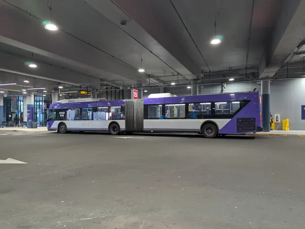
The Nashville Food Project is leading a mapping initiative in North Nashville aimed at measuring how transportation and streetscape conditions affect residents’ ability to reach healthy food. The work centers on the practical barriers faced by people who rely on public transit—especially when bus stops, sidewalks, or crossings are difficult to navigate for older adults, people with disabilities, or anyone traveling with groceries.
The project’s premise is straightforward: even when food providers exist, the trip to reach them can be unsafe or inaccessible. Limited transit coverage, the condition and placement of bus stops, and gaps in pedestrian infrastructure can determine whether a grocery run is feasible.
What the mapping will measure and how it will be gathered
The initiative combines community input with on-the-ground audits of transit infrastructure. Participatory mapping workshops are designed to document residents’ experiences—where they shop, what routes they take, and which points along the trip create obstacles. In parallel, trained youth and volunteers are set to evaluate bus stops and nearby walking conditions.
- Compliance with the Americans with Disabilities Act (ADA)
- Pedestrian accessibility and connectivity near stops
- Basic rider infrastructure such as shelters
- Lighting conditions and site-level safety features
After community feedback sessions, the plan calls for updated food-and-transit maps intended for use by residents, community organizations, policymakers, and the local transit agency.
How it fits into broader North Nashville food-access work
The Nashville Food Project has also participated in earlier North Nashville food-access mapping tied to a state-funded environmental scan. That effort brought together multiple local partners for a community asset-mapping event on April 15, 2023, intended to identify food providers—including community gardens—and produce policy-relevant findings based on local data collection.
Why transit accessibility is part of the food-access equation
The project reflects an established public-health reality: proximity to full-service grocery stores and access to reliable transportation are linked to diet-related health outcomes. In areas where household vehicle access is limited, the condition of bus stops and pedestrian routes becomes a determining factor in whether residents can routinely reach healthy food options.
The mapping approach is designed to translate daily travel constraints—like missing curb ramps or unsafe crossings—into usable data for planning and infrastructure decisions.
What comes next
The initiative is structured to produce refined findings through community review before publishing updated maps. The anticipated next step is using the results to support targeted improvements—such as bus stop upgrades, safer walking connections, and better alignment between transit access and neighborhood food resources—within North Nashville.