Icy Winds and Gray Skies: Nashville Braces for Frigid Monday Morning
A Biting Start to the Week
Nashville residents are waking up to a sharp, winter chill this Monday, February 2, 2026. As the city kicks off the work week, a stubborn cold front continues to dominate the Middle Tennessee region. The National Weather Service in Nashville has maintained a Minor Cold Weather Advisory for the area, signaling that today is not the day to skimp on layers. The combination of stagnant cold air and a persistent cloud deck will make for a somber and icy atmosphere across the Music City skyline.
Morning: A Frigid Commute
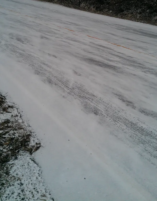
The early morning hours will be the most hazardous for commuters and those working outdoors. The Minor Cold Weather Advisory is officially in effect until noon CST today. Temperatures are starting in the mid-20s, but the real story is the wind chill. With light northerly winds, the effective temperature is expected to dip as low as 11°F. Experts warn that these conditions can lead to hypothermia with prolonged exposure. Residents should expect entirely overcast skies from daybreak, which will prevent any early-morning solar heating from taking the edge off the frost.
Afternoon: Overcast Skies and Modest Gains
Once the advisory expires at midday, the intense biting cold will relent slightly, but it will remain a brisk day by any standard. The high temperature is forecast to reach only 41°F, keeping Nashville well below its typical early-February averages. The sky will remain a uniform gray, with overcast conditions expected to persist through the entirety of the afternoon. Fortunately, the chance of precipitation is nearly non-existent, sitting at just 1%, meaning umbrellas won't be necessary today. Winds will remain steady between 6 and 10 mph, providing a consistent breeze that will keep the perceived temperature in the 30s even at the day's peak.
Evening and Night: The Deep Freeze Returns
As the sun sets shortly after 5:15 PM, the mercury will begin a rapid descent back toward the freezing mark. By the late evening hours, temperatures will hover in the low 30s, eventually bottoming out at an overnight low of 25°F. The heavy cloud cover will act as a slight insulator, preventing temperatures from crashing into the teens, but the lack of clearing will result in a damp-feeling cold. Those heading out to Monday night events in the downtown area should prepare for icy conditions, especially in wind-prone corridors between buildings.
Winter Safety Reminders
Given the active weather notices and the significant wind chill, the following precautions are advised:
- Wear at least three layers of clothing to trap body heat effectively.
- Ensure that outdoor pets are brought inside or provided with heated shelter.
- Limit outdoor activity for children and the elderly during the morning hours.
- Check on neighbors who may have limited access to reliable heating sources.
Looking ahead, the overcast trend is expected to continue into Tuesday, though a slight warming trend may bring light drizzle by midweek. For today, the primary focus remains on staying warm and safe during this frigid start to February.