A Foggy Calm Before the Looming Winter Storm
Morning Conditions: Freezing Fog and Visibility Alerts
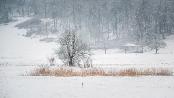
Nashville residents are waking up to a thick blanket of fog this Thursday morning, January 22, 2026. The National Weather Service (NWS) has issued both a Dense Fog Advisory and a Freezing Fog Advisory for Middle Tennessee, effective until 9:00 AM CST. Visibility is restricted to a quarter-mile or less in many areas, creating hazardous driving conditions for the morning commute. With early temperatures hovering around 34°F to 37°F, bridges and overpasses may become slick due to freezing moisture. Drivers are urged to slow down, use low-beam headlights, and maintain plenty of distance between vehicles.
Afternoon and Evening: A Brief Reprieve
As the fog lifts later this morning, the sky is expected to transition from overcast to partly cloudy. For the afternoon, Nashville will see a high temperature reaching approximately 45°F to 48°F. While the air remains crisp, conditions will stay dry today with a 0% chance of precipitation throughout the daylight hours. Winds will remain light, peaking around 6 to 8 mph from the north-northeast.
By the evening, skies are forecasted to clear, allowing temperatures to drop steadily. The overnight low is expected to hit 30°F. While tonight will be calm, the quiet weather serves as the final opportunity for residents to prepare for a significant shift in the pattern arriving tomorrow.
Major Winter Storm Watch Issued for the Weekend
The primary concern for Nashville news is the Moderate Winter Storm Watch that has been officially issued for Davidson County and the surrounding Middle Tennessee region. This watch is set to go into effect starting Friday evening, January 23, and will last through Sunday afternoon, January 25. Meteorologists are tracking a powerful system that could bring the most significant winter weather of the season.
- Snow and Ice: Current predictions indicate a 55% chance of six or more inches of snow for Nashville. Additionally, significant ice accumulation of over half an inch is possible, particularly for areas south of the I-40 corridor.
- Impacts: The combination of heavy snow and freezing rain is likely to cause widespread power outages, downed trees, and impossible travel conditions by Saturday morning.
- Safety Briefing: The Tennessee Emergency Management Agency (TEMA) will hold a media briefing today, January 22, at 3:00 PM CST to provide further guidance on state readiness and resource allocation.
Residents are strongly encouraged to use the calm weather today to finalize emergency kits, check on elderly neighbors, and ensure they have adequate supplies before the storm's arrival Friday night.